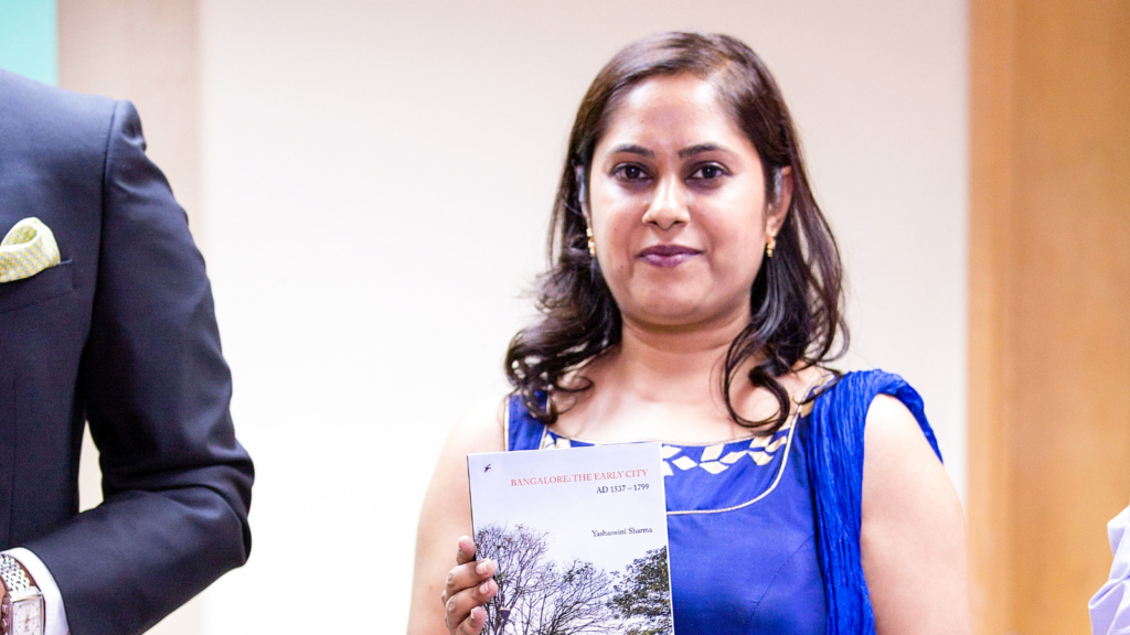
Bengaluru is a city with history anywhere you care to look, from its temples to its colonial architecture, its gardens and parks. But uniquely among the city’s historians, architect and researcher Yashaswini Sharma has chosen to delve into the history of the city’s walled core, from the years of Kempe Gowda onwards–where even the names of surviving neighbourhoods and street layouts can tell you a great deal about the past. Her book on the topic, Bangalore: The Early City (2016), delves into these topics, tracing the origin of the walled pete and how it would go on to develop, influenced by its various rulers.
Story continues below this ad
Sharma’s firm, Esthetique Architects, works in traditional architecture as well as restoration.
The book was also influenced by the author’s upbringing in the city. She said, “When I started my architectural studies, I invariably took a route through the pete. I could see a change in the architecture and social fabric. Even the way people gathered was different, the lifestyle, the size of the roads…..trying to understand that was the beginning of the journey.”
Story continues below this ad
On the remnants of Kempe Gowda’s city that are still apparent, Sharma said, “The roads, the boundaries–they all changed their character but remained. The old fortifications have turned into roads. We know that it was very much like the first 18th-century map from 1791 during the Third Anglo-Mysore War. The historic temples remain. We have lost the palaces, but whatever was built in stone remains–the north entrance of the oval fort also still survives.”
Kempe Gowda’s Bengaluru
Sharma has also examined the character of the early city. While Bengaluru was a military cantonment in the British era, Kempe Gowda’s Bengaluru was a trading town–the hill fortress defending Kempe Gowda’s domains was atop the hill of Savanadurga.
Story continues below this ad
Sharma said, “It is both in the layout and the circumstances that seeded the town. We have found Roman coins in two places in Bangalore, dated from the 1st century AD. This means that we had a trade route passing through. The Chola southern highway also passed through these parts…if you look at the pete, you will see that all the neighbourhoods are named after a particular commodity or product. The division of sub-petes within the pete was based on the idea of a commodity. Certain communities also associated themselves with certain areas–if you look at Thigalarpet–that is from the Thigala community. They were organised around the Dharmaraya (Yudhistira) temple.”
Sharma’s research into the town planning of the era also opened up interesting revelations. She noted that while the modern discourse of town planning often defaults to the Western concept of design, there were also Indian systems of planning that existed.
She said, “These were written in books called Shilpa Shastras, which are not part of any architectural or town planning curriculum. I had to go back and refer to these canonical treatises–in India these are quite regional with their variations. I had to find the principles behind the layouts, and I found them in the Shilpa Shastras…as far as the sacred architecture, you find influences from the Ganga and Chola times to Vijayanagara, which is Kempe Gowda’s period. You see a lot of the later Vijayanagara imprint in the pete.”
Some of the earliest sources on old Bengaluru that Sharma referred to date back to the Third Anglo-Mysore War, with drawings of the city that were made in the context of their assault on the fort and walled town.


