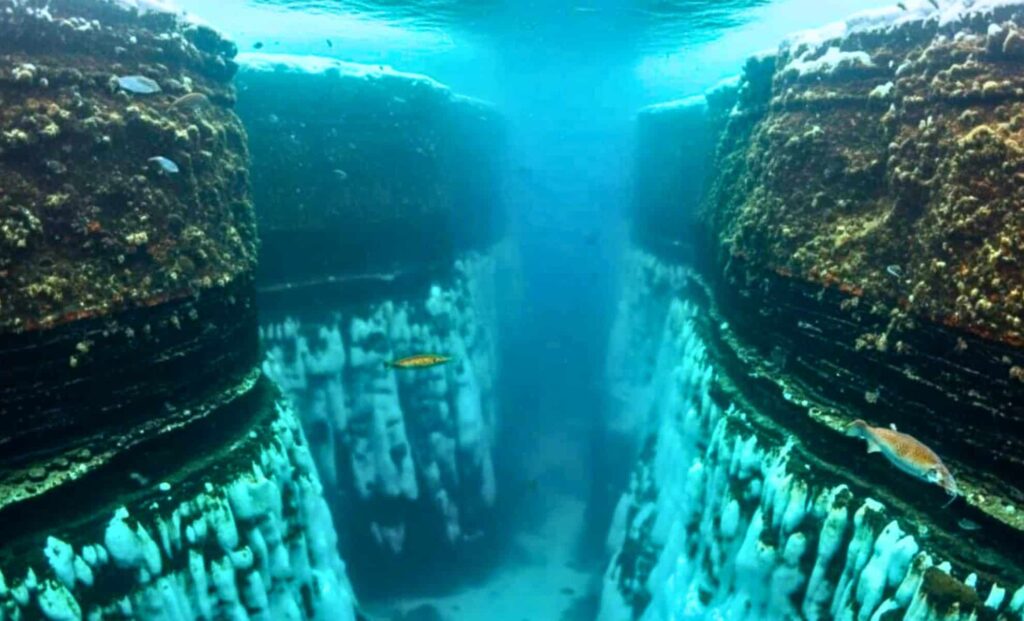
A vast network of 332 submarine canyons has been discovered beneath Antarctica’s icy perimeter, dramatically expanding scientists’ understanding of how the continent interacts with global ocean systems. The findings, published in the peer-reviewed journal Marine Geology, stem from what researchers describe as the most detailed map ever produced of the Antarctic seafloor.
The research, led by Dr David Amblàs of the University of Barcelona and Dr Riccardo Arosio of University College Cork, shows that these vast geological features—many stretching over 4,000 meters deep—play a key role in how water, heat, and sediment move around the polar region. These canyon systems, once invisible to sonar due to thick ice coverage, could be central to how ice shelves melt, how glacial ice is transported, and ultimately, how global sea levels evolve in the coming decades.
New Bathymetric Data Reveals an Antarctic Seafloor Far More Dynamic Than Once Thought
The mapping effort drew on high-resolution bathymetric data from more than 40 international research expeditions, compiled under the IBCSO v2 dataset—a significant upgrade over previous efforts with resolution improved to 500 meters per pixel. That level of detail enabled researchers to identify five times more canyons than were previously catalogued.
“Some of these canyon systems rival the largest in the world,” said Dr Amblàs in a statement from the University of Barcelona. “What’s striking is how different the eastern and western margins of the continent are.”

According to the study, East Antarctica is crisscrossed with complex, branching canyons, typically U-shaped and suggestive of long-term glacial activity. These systems often merge into a single deep channel, descending steeply into the ocean basin.
In contrast, West Antarctica features shorter, steeper, and straighter canyons—likely shaped by episodic ice movement and more recent climatic shifts. This contrast backs up earlier models suggesting that West Antarctica is more vulnerable to rapid melting, a major concern for sea-level projections.
Canyons Act as Climate ‘Conveyer Belts’—For Better or Worse
Submarine canyons are not static formations. They act as dynamic conduits for oceanic exchange, funnelling dense, salty water from the Antarctic continental shelf into the deeper Southern Ocean. This movement helps form Antarctic Bottom Water, a cold, heavy current that powers global thermohaline circulation, sometimes referred to as the planet’s “oceanic conveyer belt.”
But there’s a flip side: these same channels can also carry warmer deep waters—notably Circumpolar Deep Water—back toward the coast, reaching beneath ice shelves and triggering basal melting from below. That’s the process behind the ongoing thinning of key glacial zones like the Amundsen Sea Embayment, which holds enough ice to raise sea levels by several meters.
“This canyon-driven exchange is not just a background process—it’s central to how heat reaches the base of the ice, and how meltwater escapes back into the ocean,” noted Dr Alan Condron of Woods Hole Oceanographic Institution, a co-author of the study.
Flawed Models May Be Underestimating Antarctica’s Influence on Sea-Level Projections
The implications for climate modeling are serious. Until now, most global sea-level projections have treated Antarctica’s seafloor as relatively featureless. The discovery of these complex canyon systems—paired with the ability to measure 15 morphometric parameters per canyon—means that many simulations have likely missed key regional dynamics that affect ice sheet stability, heat transport, and ocean mixing.


In models used by institutions like the IPCC, such oversimplifications can lead to underestimations of the pace and scale of ice loss, especially in regions where submarine canyons offer a direct path for warm water to reach glacial beds.
As explained in the Marine Geology paper, this refined map offers a chance to better calibrate predictive models—and in doing so, improve our ability to anticipate the pace of future sea-level rise. According to the researchers, incorporating this new data may significantly alter risk assessments for vulnerable coastal cities over the next century.
Antarctica’s Unmapped Depths Still Hold More Secrets
Despite the breakthrough, large parts of the Antarctic seafloor remain unmapped in high resolution. Just 27% of the global ocean floor has been charted in detail, according to estimates by Seabed 2030, an international ocean mapping initiative.
Amblàs and Arosio stress that continuing to gather detailed bathymetric data—especially beneath floating ice shelves—is now a scientific priority. “There’s no doubt that we’ve only scratched the surface,” said Arosio. “These canyons are just the beginning of understanding how Antarctica is wired into the planet’s climate engine.”
Future research will likely involve a mix of autonomous underwater vehicles, satellite remote sensing, and in situ oceanographic instruments to observe how these under-ice highways function in real time.

